en Elevation Service Use Case: Hiking Our Elevation Service provides elevation data above the sea level for any location on Earth’s surface. This is useful for hiking, biking or motorcycling applications. In this article we display a hike on a map and then plot a chart of its height.
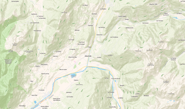
Nos Produits Featured Add relief to your maps Hillshade and contour: Two vector layers for relief visualisation.
Parlons Tech Hillshades and Digital Elevation Model Our latest release of the Jawg Lab allows you to include the best shaded relief on your maps. Quick tutorial: Add hillshades to your style Go to the style manager [https://www.jawg.io/lab/styles]. Click create a new style and select the base style. Tick the Hillshade box
Parlons Tech How to make mvt with PostGIS Since PostGIS 2.4.0 [https://postgis.net/2017/09/30/postgis-2.4.0/] it is possible to generate mvt (Mapbox Vector Tile) [https://github.com/mapbox/vector-tile-spec/tree/master/2.1] out of the box. In this tutorial we will create a minimalist set of vector tiles (tileset) using