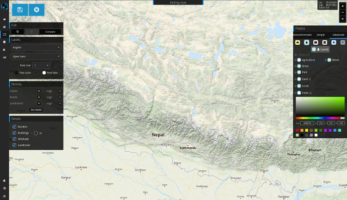
Hillshades and Digital Elevation Model
Our latest release of the Jawg Lab allows you to include the best shaded relief on your maps.
Quick tutorial: Add hillshades to your style
Go to the style manager.
Click create a new style and select the base style.
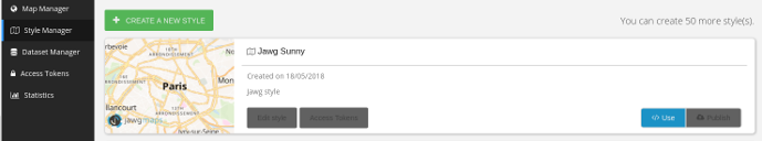
Tick the Hillshade box in the Details tab
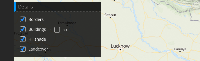
That's it !
If you are going to use hillshades in your site using mapbox-gl-js make sure to upgrade its version to v0.43.0 or later.
How it works
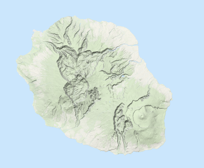
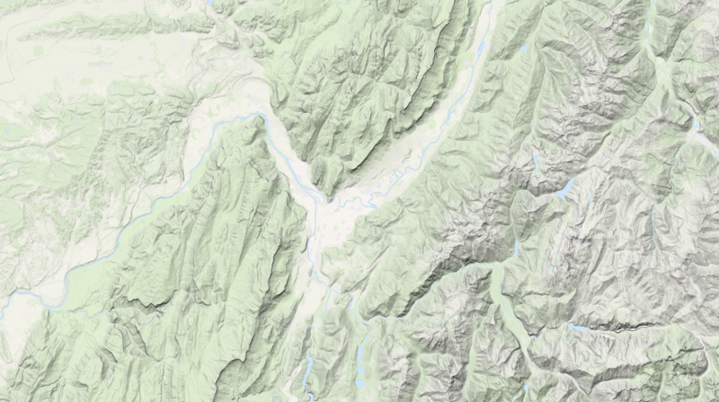
The new DEM tileset
The hillshades layer uses our new tileset jawg-dem available at this endpoint:
https://tile.jawg.io/jawg-dem/{z}/{x}/{y}[@2x].png?access-token={your-access-token}
Encoding
This tileset encodes global elevation as png24 using RGB channels, giving a 3-digits base-256 integer. The unit used is 0.1 meter giving us enough precision to render hillshades on a map.
To decode a given pixel and get the elevation in meters use the equation:
elevation = -10000 + ((R * 256 * 256 + G * 256 + B) * 0.1)
Below is the visualization of the DEM tileset where each pixel encodes an elevation as explained above for each zoom level up to 10.