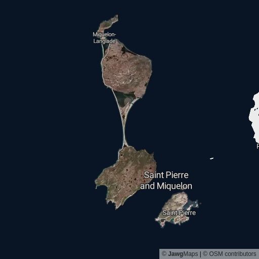
New satellite imaging style
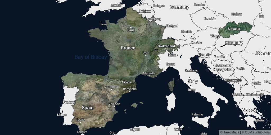
Check out our brand new Jawg Maps style: jawg-satellite-streets, displaying beautiful satellite imagery! Available for France, Luxembourg, Monaco, Slovakia, Spain and Switzerland. More coming soon!


For the past few months, we've been working hard to bring you our new service: satellite imaging. We started with countries in Europe and efforts are still underway to cover the rest of the world.
Why don't we already have the whole planet?
High resolution aerial imagery is complex to find and manipulate. Each country owns its aerial imagery and may distribute it in different formats and in different ways.
For example, the French aerial imagery is Open Data and contains JPEG2000 files (image compression standard and coding system) categorized by departments (administrative division smaller than regions, +100 departments in France). The Swiss aerial imagery is also Open Data and contains uncategorized GeoTIFF files (TIFF image file with georeferencing information).
So in order to create this satellite style, we have to find the data country by country and then analyze it before including it in our processes.
The strong points of our imagery
As mentioned previously, raw aerial imagery comes from different sources and because of that, not all data is created equal. In fact, the differences between the data sets can be visually uncomfortable so we decided to take the time and properly delimit the images so as to create a fade-in effect between two different sources.
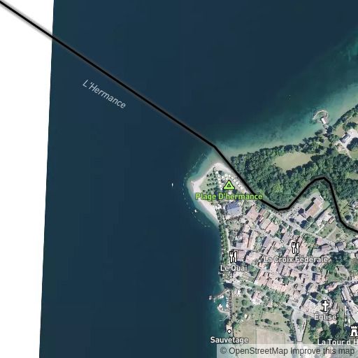
Here is an example of the Jawg satellite style (first image) and one of our competitors (second image) at the junction between three departments in France: Eure, Oise and Val-D'Oise.
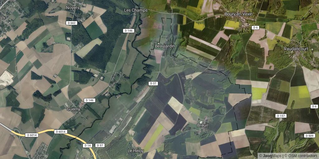
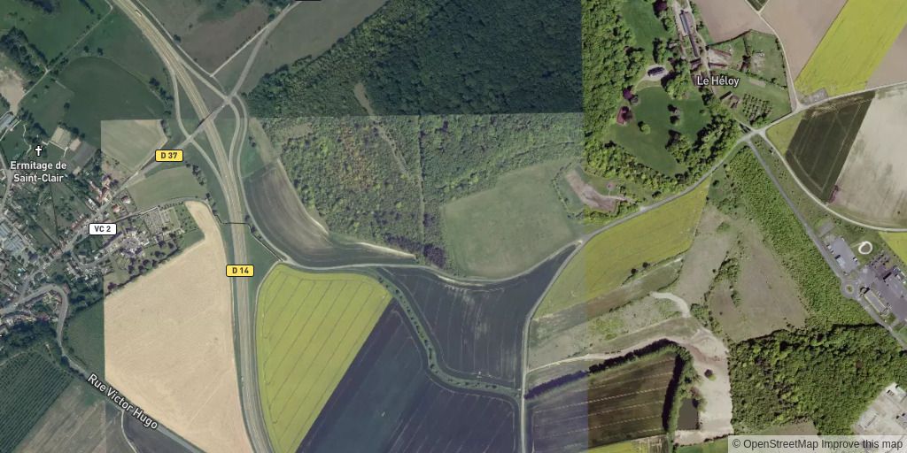
You can see that Jawg fades-in the data at the borders, which is a little easier on the eyes, compared to the square cuts generated by the data sources.
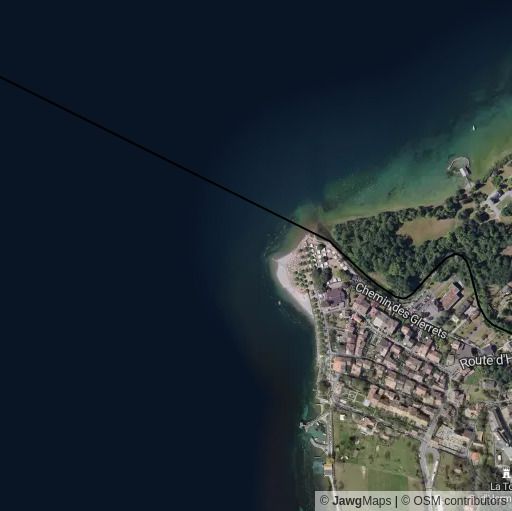
Here's another example near the border between France and Switzerland, where on the left, the borders are faded-in and on the right, we see a clear white strip.
How to use the Jawg satellite imagery?
Want to add this style to your maps? We created a style named jawg-satellite-streets that relies on the satellite-v1 tileset (with streets and POIs meta data ).
Just use the following URL format to integrate it on your app or website:
# Use the style in raster
https://tile.jawg.io/jawg-satellite-streets/{z}/{x}/{y}.webp?access-token=YOUR_ACCESS_TOKEN
# Or in vectoriel
https://api.jawg.io/styles/jawg-satellite-streets.json?access-token=YOUR_ACCESS_TOKEN
Or checkout our documentation for more information on our Maps API.
Note: satellite-v1 only contains the aerial imagery in webp from zoom 0 to zoom 18.
Play around with it and get lost in the French vineyards:
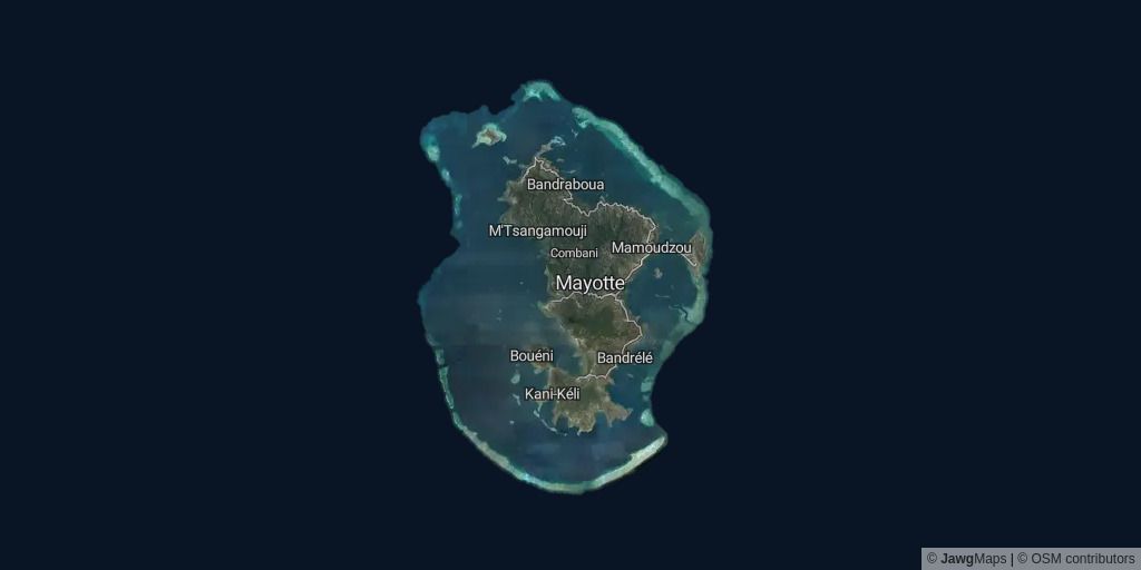
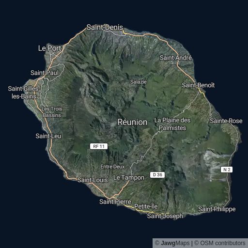
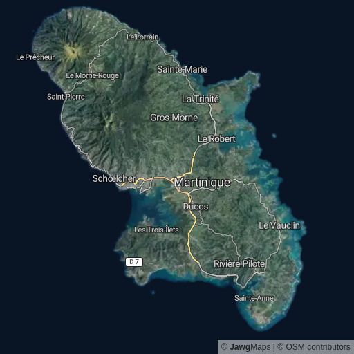
More aerial imagery
Thanks for reading and see you soon on Jawg!
PS: Comments? Suggestions? Feel free to tweet at us using @jawgio.