Earth's oceans and seas
From space, we can see that the surface of our dear planet is mainly composed of water. Oceans and Seas covering a good part of our maps and we now display their names.

The world of cartography can be complicated for a neophyte. On our maps, there are hundreds of different items that are classified and categorized.
At Jawg, we always wanted to simplify the lives of our users. When we created the lab in 2017, we wanted a simple space where anyone could use to create their own maps. Instead of exhaustively displaying all graphical elements that can be modified, we have chosen to group them and select the perfect hues for sibling elements.
Ocean's labels are not an exception, they have been automatically added to default base maps and personalized ones. The best way to display the name of an ocean is to find the right shade based on the color of the water in which it is located. So we use the color of the water with some modifications to find the perfect color of the ocean's label.
As you can see, there are two ways to displays water areas. Adaman Sea, Sulu Sea and Celebes Sea are displayed as single point in the water area. The second way is linear, like South China Sea and Java Sea which follow the way of the water.
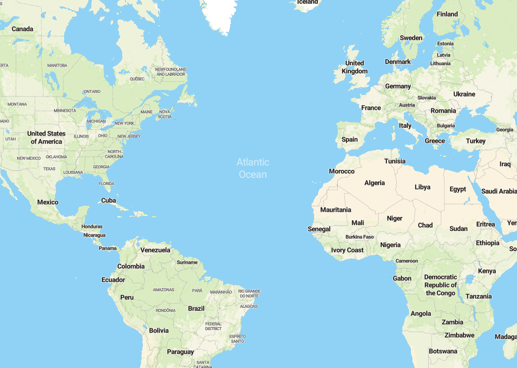
We used a point display to recognize large or closed water areas. The typical example is the Atlantic Ocean which is very large or the previous Sulu Sea which is well defined.
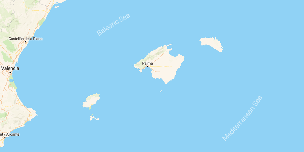
We used the linear display to allows you to recognize the shape of the sea and the direction it takes. A large number of seas are more pleasant to look at when they are in linear form. An example of this display is the Mediterranean Sea and Balearic Sea. We can easily see the limit of these two seas.
We spent time to produce the best maps for you and we love offer you richer maps. I hope you will enjoy.
See you soon on the lab.