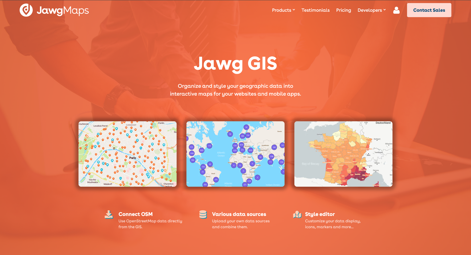
Discover Jawg GIS: a powerful tool for your more complex mapping projects
If you work on complex mapping projects, Jawg GIS lets you organize and style your geographic data the way you want. Simply contact the Jawg team to request access.

After some close collaboration with our customers behind the scenes, the time came to finally unveil our product Jawg GIS!
If you work on complex mapping projects, Jawg GIS lets you organize and style your geographic data the way you want. To request access, simply contact the Jawg team.
Organise, style, share
OSM connection
Easily integrate OpenStreetMap (OSM) data directly from the Geographic Information Systems (GIS). With this feature, access a global data source, continuously updated by the worldwide community.
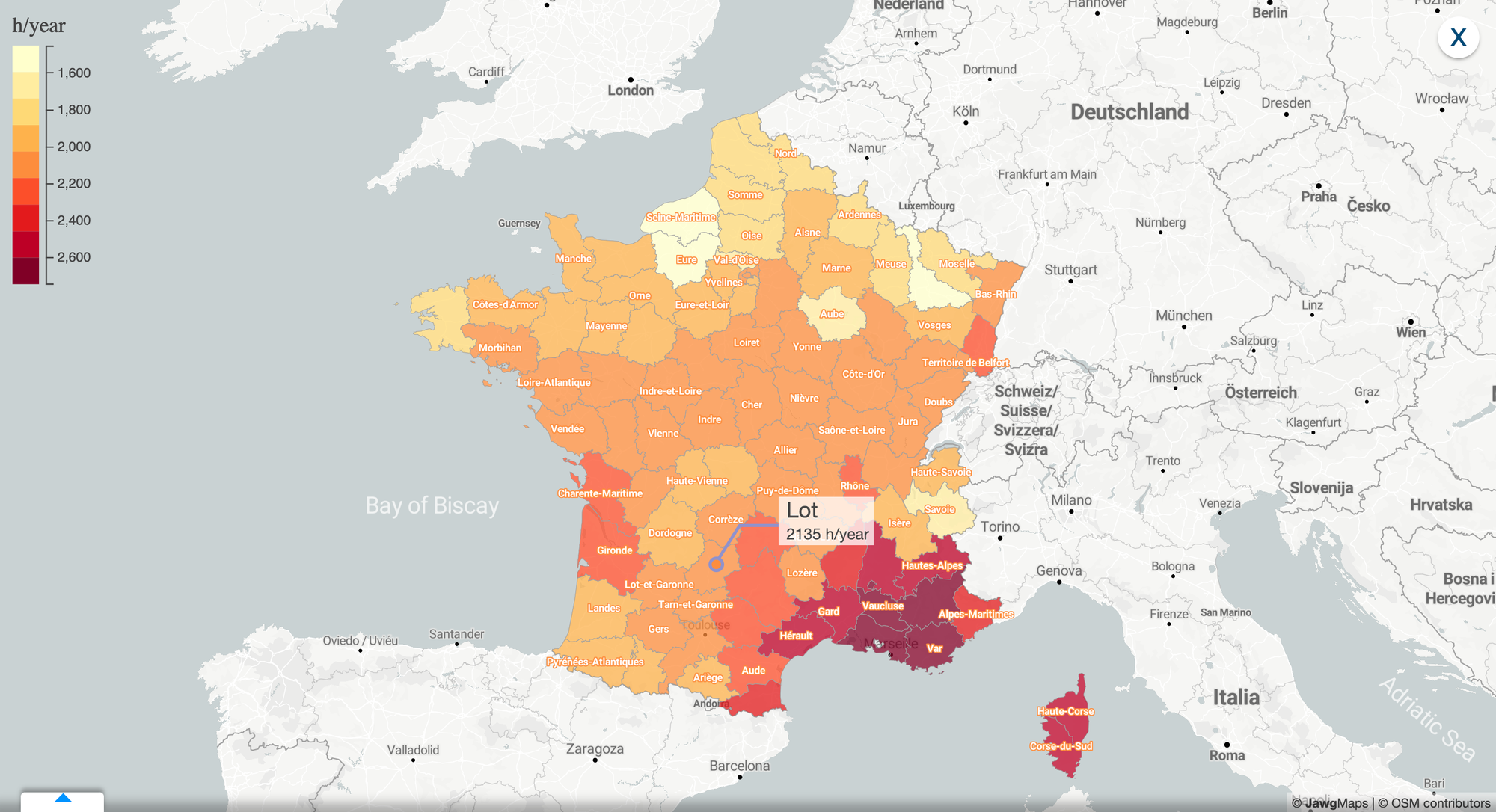
Various data sources

You have complete freedom with Jawg GIS: upload and use your own data sources (CSV or JSON), then easily combine them in the tool.
Let your mapping creativity express itself without limits (although we recommend respecting best practices so as not to overload and make your map unreadable!)
Intuitive style editor
Customise the display of your data with our advanced style editor. Edit icons, markers, and more. Tailor each map to your brand identity and your audience.
Real-time metrics
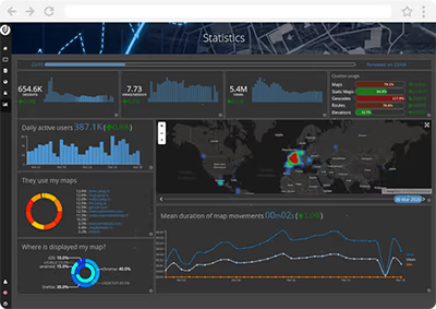
Analyse your maps' usage and performance using real-time data visualisation. Jawg GIS offers detailed statistics to help you make informed decisions and understand how efficient your maps really are.
Your project's impact
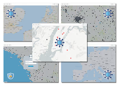
Share your ideas with the world or with a specific group, thanks to our interactive maps. Connect people, places and data to create engaging and educational mapping experiences.
Our partner and key player in the development of Jawg GIS
Among our users, SNCF (the french railway company) stands out as an essential driving force regarding the evolution of our tool.
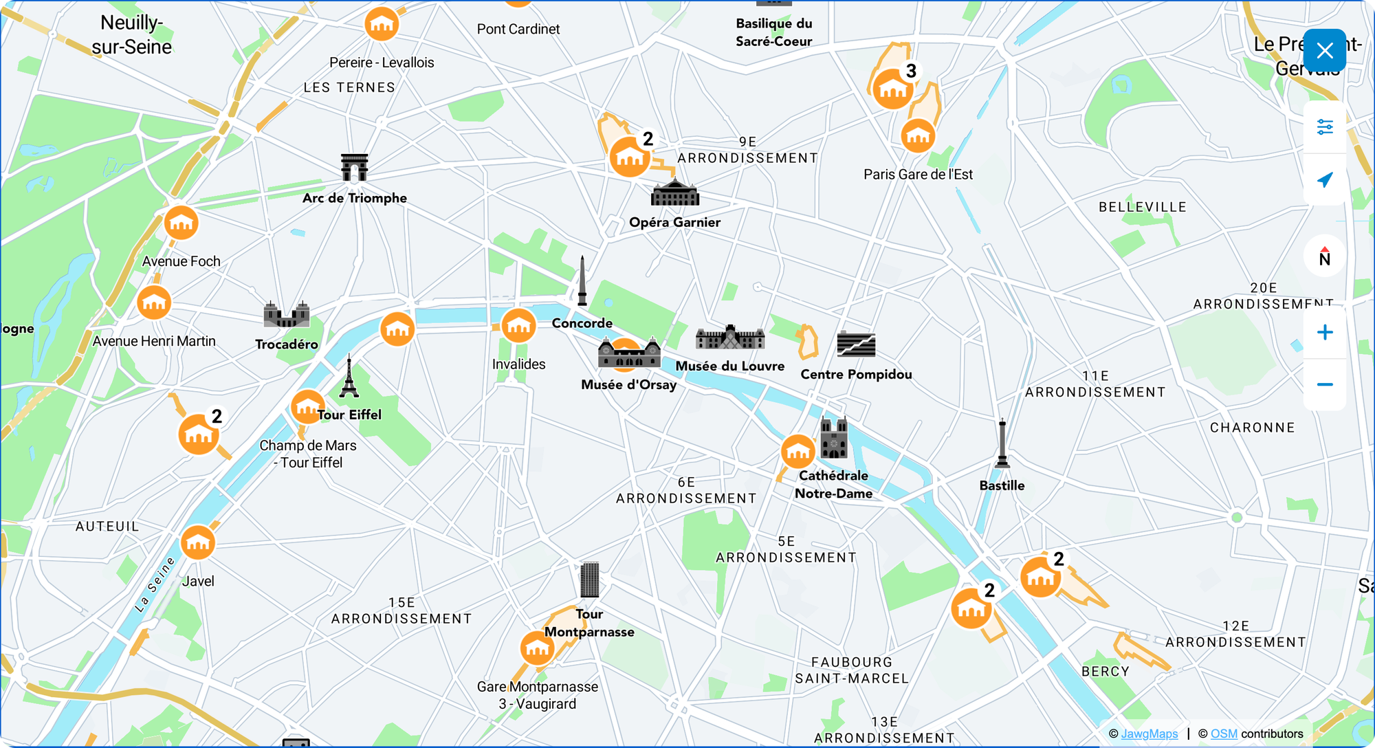
Their ambitious project to map all the stations in the greater Paris region, as well as the inside of all major stations, constituted a complex customer use case that allowed us to perfect the platform.
To navigate in one of the major stations in Paris and see a beautiful example of a map on several levels, click here: Lyon station 🚆
Thank you to their team for their trust over the years and we look forward to taking on new mapping challenges together!
A few last words
Whether you are a developer, data analyst or mapping professional, our tool has been designed to meet your most specific needs (see the documentation).
Discover the power of Jawg GIS today and transform the way you and your audience interact with your geographic data!
Contact us for more information or if you'd like a Jawg GIS demo from our team :)